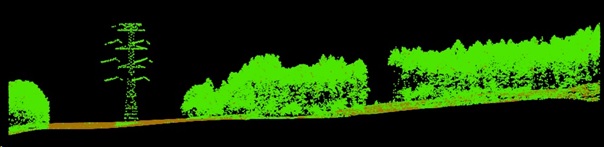
LiDAR data was acquired for project awarded by Czech Science Foundation and parallel field work to gather validation data has started. Project aim is fusion of LiDAR and multispectral/hyperspectral data to assess physiographic diversity of post-mining sites. LiDAR data was collected over study area in May 2017 by CZECHGLOBE Flying Laboratory of Imaging Systems (FLIS) equipped with full-waveform laser scanner Riegl-Q780. The scanner has rotating polygon mirror and scans in parallel lines. The scan field of view is 60° and the wavelength is 1064 nm. Data collection flights were conducted at 1030 m above ground with a velocity of 110kn, with 55% flight line side overlap providing density of 7.61 points per square meter.