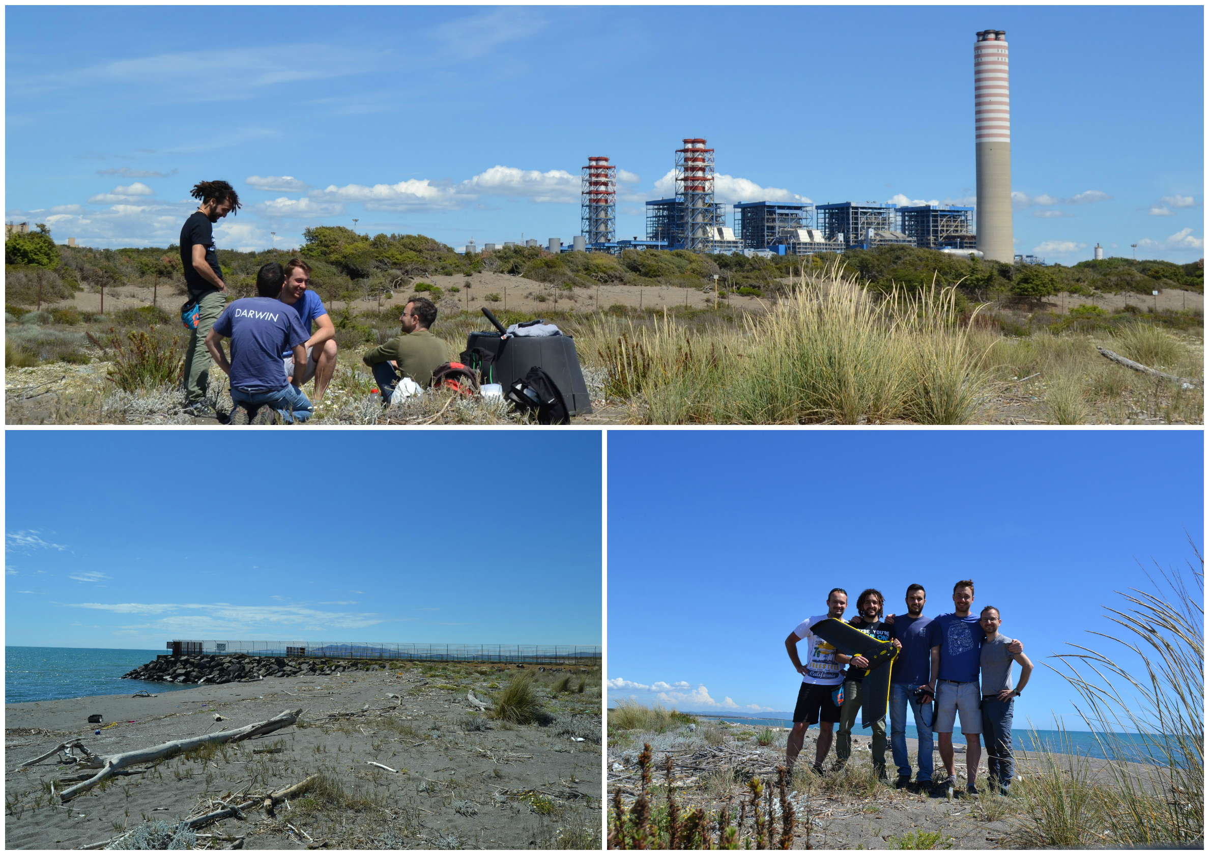
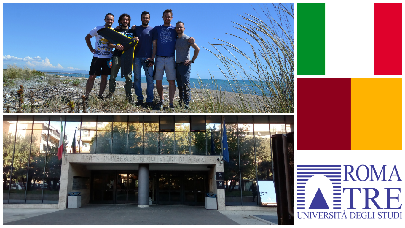
In May 17 colleagues from our research group conducted field data campaign using Remotely Piloted Aerial System (RPAS) along Mediterranean seashore. Fixed-wing system (senseFly eBee) equipped with 4-channel multispectral camera collected data at area of more than 150 ha. Aim of the study is to investigate vegetation dynamics and dune topography dynamics as mutually interacting processes. The research will be undertaken in an international environment (Czech Republic and Italy). The analysis will be also performed with the cooperation of professor Duccio Rocchini at Universita degli Studi di Trento.
See updates at our Twitter.